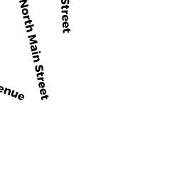
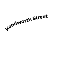
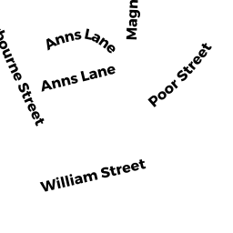
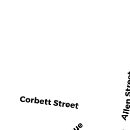
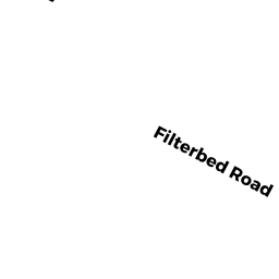
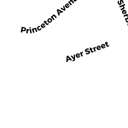
7 9 KENILWORTH ST
Owner Information
CHEN-HUNG+YUN HSIAO CHANG LT
25 ORIOLE CI
PELHAM, NH 03076


Property Details
7 9 KENILWORTH ST is classified as a Two-Family Residential (Multi-conv).
The primary structure on this property was built in 1917. There are 3,096ft2 of built area within this property. There is 3,096ft2 of residential/living space within this property. This property is listed as having 12 rooms. There are 2 units within this property.
7 9 KENILWORTH ST is valued at $612,000. The land is valued at $246,800 and the structures are valued at $365,200.
This property is in Zone SRA. Confirm with local Zoning Board authorities to ensure there are no overlays or other easements on this property.
The most recent deed for 7 9 KENILWORTH ST is recorded at the local registrar in Book 13903, Page 154. 7 9 KENILWORTH ST was last sold on Thursday, July 3, 2014 for $0.
Assessment data from fiscal year 2021.
Flood Data
According to the FEMA National Flood Hazard Layer, this property does not appear to be in a flood zone. It may also be in an area not yet reviewed. Nonetheless, confirm this information prior to taking any action.
To view the flood hazards around this property, create a FEMA "Firmette" Map of the area around 7 9 KENILWORTH ST.
Broadband Internet Providers
| Provider | Type | Bandwidth (mbps) | |
|---|---|---|---|
| Comcast | Cable | 1000 | 35 |
| Viasat Inc | Satellite | 100 | 3 |
| VSAT Systems, LLC. | Satellite | 2 | 1 |
| Verizon New England Inc. | DSL | 1 | 0 |
| HughesNet | Satellite | 25 | 3 |
| GCI Communication Corp. | Satellite | 0 | 0 |
| T-Mobile | Fixed Wireless | 25 | 3 |
| Verizon New England Inc. | Fiber | 940 | 880 |
Broadband service provider data from December 2020.